
Last week, local news included a story about the line that divides Catawba and Lincoln Counties. Plans are for the North Carolina Geodetic Survey to determine a definitive border which should solve the issue for residents on the border about which county they live in. This question is not a new one. For almost 180 years, the line has been in dispute, going back to the creation of Catawba County. Ideally, the latest effort will resolve all doubt. But it did not in 2006 (the last time this controversy arose). It didn’t in 1842 and may not this time, but the two counties keep trying.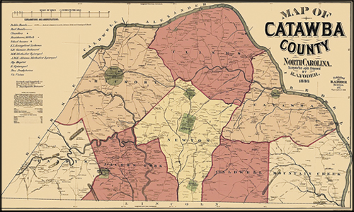
It all started when the land south of the Catawba River was part of Lincoln County. Citizens in the upper (northern) region grew tired of the long trek to Lincolnton to do official business. In those days, court sessions were held four times a year. If you had a dispute with a neighbor or needed some document authorized by officialdom, it could take more than a day’s travel to get to the county seat to conduct business. Remember, those were the days of a horse and wagon (which was an improvement over walking).
Besides that, some folks from up Catawba way were not treated very well when they got to Lincolnton. One of them was Nathaniel “Thanny” Wilson. As a kid, he was teased about being a country hick when he got among the city boys in Lincolnton. They made fun of his homespun clothes, calling him a rube/hayseed/bumpkin/schlub which was a way of calling him ignorant and gullible. He vowed that one day he would “split the lightning rods on the Lincoln county courthouse,” dividing the town right down the middle. By 1842, the fiery red-headed Thanny was in the North Carolina General Assembly and ready to make good on his threat from childhood.
He introduced a bill establishing Catawba County in which he split the county seat just like he said he would. Lincolnton folks rose up in righteous ire. A compromise boundary fixed the new border a mile and a half north of Thanny’s line. Lincoln County was formed in 1779, but when new counties came into existence they carved away on what was once a rather large tract of land. Four years after Catawba, Gaston County threatened to leave Lincoln looking like a pancake, very wide and very thin. To leave Lincoln with anything at all, another adjustment needed to be made.
The final (if you can call anything final between the two counties) boundary moved the line north another four miles, closer to where it is today. The move gave the county a bit more space, making Lincoln County thirty miles wide and ten miles high, roughly how you now find it on the map today.
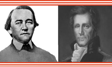
By the way, some people think Lincoln County was named for Abraham Lincoln. Uh, no. The man who would become the 16th president of the United States was born 30 years after Lincoln became a county. That honor belongs to one of the American patriots. His story and another architect of the American Revolution (for whom a local town is named) is coming up next week, just in time to celebrate independence.
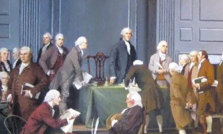
Photo: The 1886 Yoder map of Catawba County. The river determines the border north and east. Things seem at ease with Burke in the west. But down south?


